

File:Paris city Landsat.png
Size of this preview: 960 × 640 pixels. Other resolutions: 330 × 220 pixels | 960 × 640 pixels.
Original file (901 × 601 pixels, file size: 1.03 MB, MIME type: image/png)
Captions
Captions
Add a one-line explanation of what this file represents
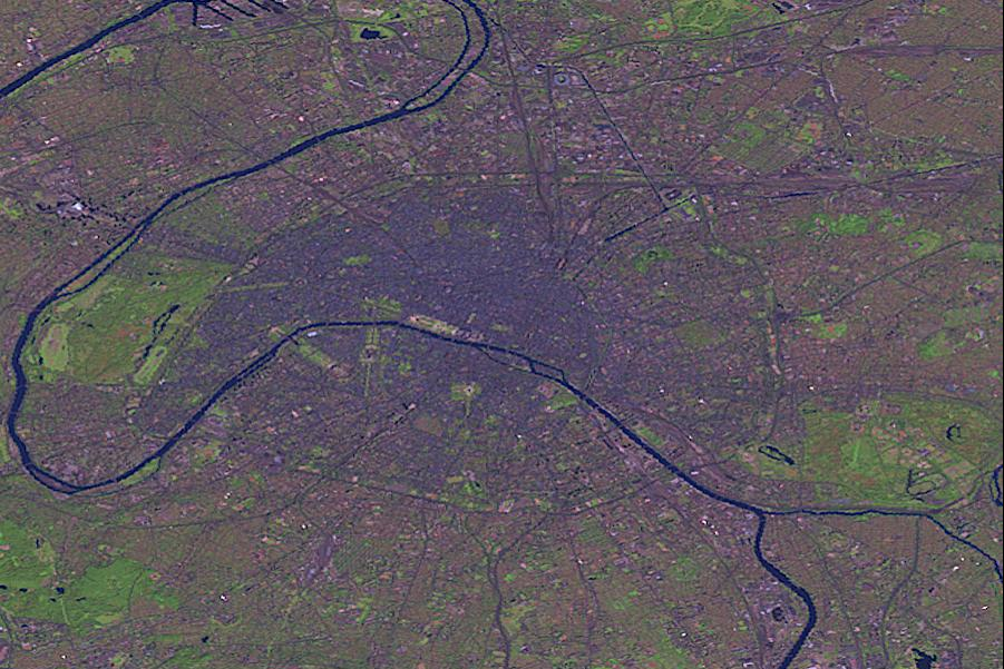
| Description | Paris by Landsat. | |||
| Source |
This image was generated by the NGA Raster Roam application, at coordinates 48°51'39"N 2°20'43"E.
|
|||
| Author | Landsat |


File history
Click on a date/time to view the file as it appeared at that time.
| Date/Time | Thumbnail | Dimensions | User | Comment | |
|---|---|---|---|---|---|
| current | 23:49, 25 October 2005 | | 901 × 601 (1.03 MB) | David.Monniaux (talk | contribs) | Paris by Landsat (false colours) {{NGA Raster Roam|latitude=48°51'39"N|longitude=2°20'43"E}} |
You cannot overwrite this file.
File usage on Commons
The following 3 pages use this file:
File usage on other wikis
The following other wikis use this file:
- Usage on ast.wikipedia.org
- Usage on de.wikipedia.org
- Usage on es.wikipedia.org
- Usage on lb.wikipedia.org
- Usage on no.wikipedia.org
